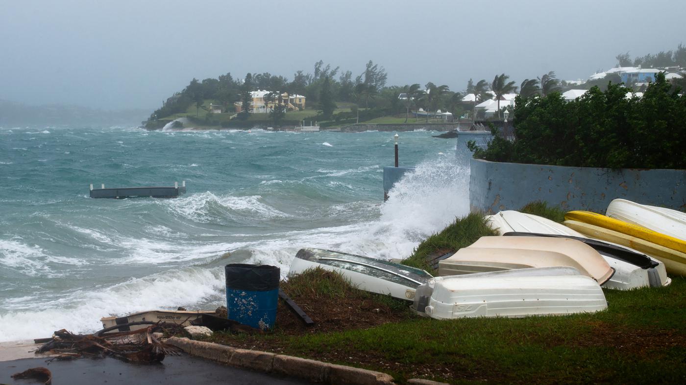
The Storm “Ernesto” raging in the North Atlantic has been upgraded to a hurricane again. With Wind speeds of up to 120 km/h The US National Hurricane Center (NHC) classified “Ernesto” on Sunday (local time) as a category one storm on the five-stage Saffir-Simpson scale.
On Saturday, “Ernesto” was downgraded to a tropical storm. However, the NHC had already warned that the storm could gain strength again on Sunday.
“Ernesto”, whose centre is forecast to pass near southeastern Newfoundland in Canada on Monday evening and Tuesday, poses Dangers for residents and holidaymakers on the North American Atlantic coast the NHC said.
I agree to the external content being displayed to me. This means that personal data can be transmitted to third-party platforms. You can find more information about this in the data protection settings. You can find these at the very bottom of our page in the footer, so that you can manage or revoke your settings at any time.
Beachgoers should be aware that there is a significant risk life-threatening surf and current conditions exists, it was said.
© REUTERS/NOAA
On Saturday, “Ernesto” hit the British overseas territory of Bermuda with wind speeds of 137 km/h and caused heavy rain Bermuda’s Minister for National Security said on Sunday, according to the newspaper “The Royal Gazette”, that there had been no injuries or major incidents given.
The US National Oceanic and Atmospheric Administration (NOAA) predicts a “extraordinary” hurricane season because the Atlantic is warmer than average.
The warmer the oceans, the higher the probability of hurricanes forming. Therefore, according to experts, the Climate change is an important reason forthat tropical cyclones are becoming more intense and increasing in strength more quickly.
