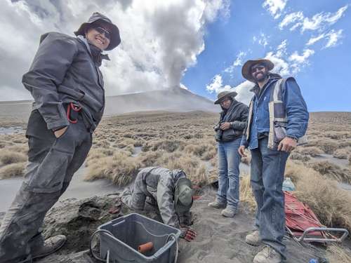
In the context of the 30th anniversary of the reactivation of the Popocatépetl volcano – which will be next December 21 –, researchers from the UNAM Institute of Geophysics obtained unprecedented images of the interior of the colossus, using artificial intelligence (AI) systems and use of seismic interferometry, a technique that relies on environmental noise to make representations of the subsoil.
The academic team, made up of Leonarda Esquivel Mendiola and Karina Bernal Manzanilla, under the advice of Marco Calò, from the Department of Volcanology, and Arturo Iglesias Mendoza, both specialists from that institute, set out to scrutinize the bowels of the colossus until creating a detailed map and better understand its internal activity.
In interview with The Day, Esquivel Mendiola said that, motivated because the available images were limited and incongruent with each other – after comparing three previous studies –, she decided to use seismic interferometry to analyze the information provided by 11 stations of the seismic monitoring network of the National Center for Disaster Prevention. (Cenapred) along with eight additional ones managed by the Institute’s Volcanology Department, as well as several stations deployed in previous experiments, combining information from almost 40 meters seismic experts who have been working on the volcano for the last 30 years.
According to Calò, the technique used by Esquivel Mendiola works similarly to an x-ray in the medical field, but in this case ambient noise is used to obtain a material that allows us to see the contrasts of the materials that can play a role in the activity
.
Work published in international magazine
He highlighted that one of the greatest attributes of this work is that it uses a database that spans three decades, the largest that has been able to be occupied with this method in Popocatépetl
.
A few months ago, Esquivel Mendiola obtained novel graphic material of the internal structure of a depth of up to 10 kilometers (five above sea level and five below it) that was published in an international refereed scientific journal.
The information reveals that although there is a theory that the Popo It has a single magmatic chamber, in reality the material moves through different spaces, and there would be at least two main areas where it accumulates.
In addition to this scientific investigation, Bernal Manzanilla developed another independent way, in which he used Machine Learning (ML or automatic learning), an AI tool that allows computers to learn patterns and make decisions or do predictions based on data.
The specialist said that she had this tool classify the types of earthquakes that exist: tremors related to the movement of gases, liquids, the breaking of a rock, etc., so that she could analyze a database from January 2019 to March 2023, with information provided by the stations of the Cenapred seismic network and the additional stations of the Institute of Geophysics.
A few days ago, Bernal Manzanilla also obtained the first images of the subsoil using information from artificial intelligence, although in this case they are waiting to be published in peer-reviewed scientific journals before being able to offer more details.
However, he added that AI demonstrated a great advantage over manual analysis of the information offered by the seismic network stations, since In a matter of three hours we can study a month of monitoring
.
To give an idea of the relevance of this finding, Calò said that Cenapred has a room with four technicians who work seven days a week, 24 hours a day, organized in shifts. We are talking about four people who, if they want to analyze a month of monitoring, will take a month to do so.
.
The team knows that at this moment AI does not replace the work carried out by analysts, but it sets the tone for how it can be applied to make classification more agile and give more space to interpret the results or produce more complete studies.
The potential that we see is that when talking about Civil Protection, one of the biggest problems is the time it takes to issue a statement. Those two or three days can be crucial, very important.
asserted the expert.
But the most ambitious part of the volcanology team is about to be carried out in the following weeks, when the maps obtained by Esquivel Mendiola and Bernal Manzanilla are contrasted. These two perspectives could change the way volcanic activity is monitored and understood.
These are two innovative projects in the methods they use and the volume of their databases, and although they are independent, they are providing information autonomously; They are also complementary, now that they will be analyzed together
he added.
By comparing these two studies, Calò continued, university scientists hope to continue unraveling the secrets of Popocatépetl and contribute to improving knowledge about it, as well as the monitoring systems, essential for the safety of millions of people in Mexico.
Our role is to understand how they work, because if we know, we can make more appropriate predictions, and support PC in decision making.
he concluded.
