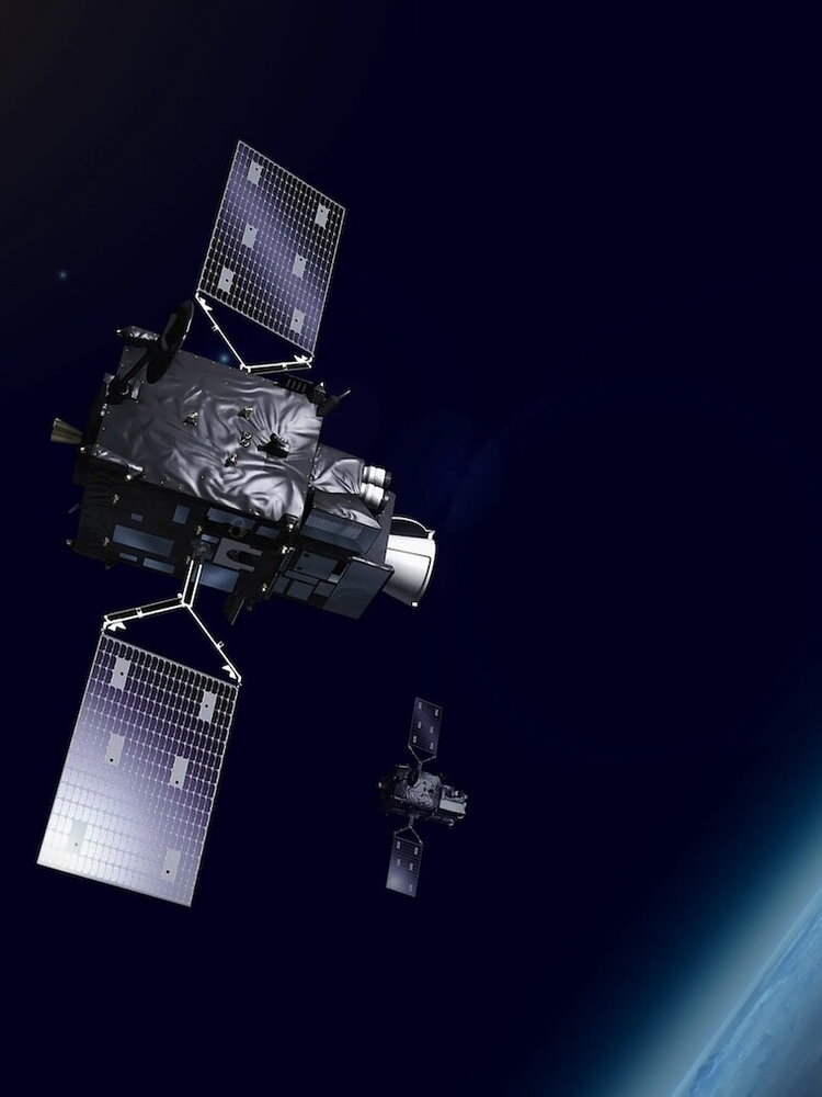
It has been fully operational since 4 December, two years after launch, Meteosat-12Europe’s most advanced meteorological satellite, one fundamental tool in the fight against extreme climate events which strike the continent more and more frequently and violently. The first of the third generation (MTG) satellites launched by Eumetsat, the European satellite meteorological agency, it is the first piece of “one of the most innovative and complex weather satellite systems ever built,” he said Phil Evans director general of Eumetsat. By 2030, the launch of between 12 and 17 new MTGs and the retirement of five old devices are expected, Evans announced to reporters at the agency’s headquarters in Darmstadt, Germany. It will thus be possible to obtain, he added, a “considerable improvement in the reliability of weather forecasts and climate monitoring”, sectors of increasingly critical importance as demonstrated by devastation caused in Spain by Dana.
“The third generation Meteosat satellites provide high resolution images at very high frequency,” he explained to the press Stephan Bojinskimanager of the Meteosat Third Generation User Preparation Project, “this allows very short-term forecasts (what in English is called nowcastinged.) of rapidly developing and high-impact climate events”. “The ability to predict severe weather in its early stages and greater possibilities in monitoring electrical activity will help protect lives, property and infrastructure.”
The data collected by Meteosat-12 will now be disseminated to national meteorological services and Eumetsat is confident of a significant impact on weather forecasts and understanding of the climate and its changes. The two main instruments on board Meteosat-12, the Flexible Combined Imager (FCI) and the Lightning Imager (LI), will therefore play a crucial role in protecting human lives and critical infrastructure from severe weather events thanks to accurate capture of the images that at the moment it has no equal in the world in a geostationary satellite (that is, one that always maintains the same position around the planet following the Earth’s rotation), underlined the scientists involved in the project.
“The LI is the first instrument of this type not only operated but also developed in Europe”, the scientist explained to Agi Bartolomeo Viticchiè“it is not a trivial technology to develop, we are talking about one of the fastest processors that are in orbit and this ability to process data, in terms of technology, is a very important thing, in America it has already been done for some time and for the first time it is done in Europe”.
The FCI, the Instrument Scientist told us Alessandro Burini“at a technological level it is truly a step forward compared to the previous instrument in terms of image purity, radiometric accuracy, the ability to measure the radiation emitted and reflected by the Earth; also in terms of resolution it returns images that cannot be have never been seen because we have two channels at 500 metres, which at 36 thousand kilometers from Earth is a huge achievement, since we have to keep the platform extremely stable and, in terms of accuracy, we need to have an extremely sensitive and precise instrument.” “It is an extremely complex instrument but it also gives great results”, added Burini, “the Americans already had something similar, we have more bands, a greater resolution”.
In addition to FCI and LI, Meteosat-12 also carries the Data Collection and Retransmission Service (DCS) and the Geostationary Search and Rescue Relay (GEOSAR) transponder. The DCS acquires observations and environmental data from ground-based weather platforms within its field of view and transmits them to the MTG ground segment. The GEOSAR transponder acquires signals from emergency beacons in its field of view and transmits them to the rescue services.
“We are working with the meteorological services of our thirty Member States to ensure that they can make the best use of the data, which is essential for one of the main challenges they face: the rapid detection and prediction of adverse weather conditions, so that citizens , civil authorities and emergency responders receive timely alerts,” Evans said again, “when the entire MTG constellation is active, it will be possible, for the first time, observe the entire life cycle of a convective stormfrom before clouds begin to form until lightning is detected.”
The data will not only protect Europe but will also prove fundamental for the project Space for Early Warnings in Africa funded by the European Union and implemented in agreement with the African Union Commission. Starting in January 2025, the initiative will improve Africa’s capacity to access and process Earth observation data, strengthening early warning systems and response to adverse weather conditions.
