What if it was possible to stand in the heart of the Roman Forum at the height of the Empire, walk the streets of Pompeii just before the eruption of the volcano, or see how Jerusalem looked during the time of the Temple? This is the new vision announced by Google, with the integration of the Nano Banana image creation engine within Google Earth.
The development makes it possible to turn the familiar world map into an interactive platform that presents visualizations of the past, alongside new uses for city planning, architecture and education.
Google has announced that the Nano Banana image creation engine is now available within Google Earth. Users can select a location in the world and instruct the artificial intelligence to create a realistic illustration of the area in a certain historical period or according to a future scenario.
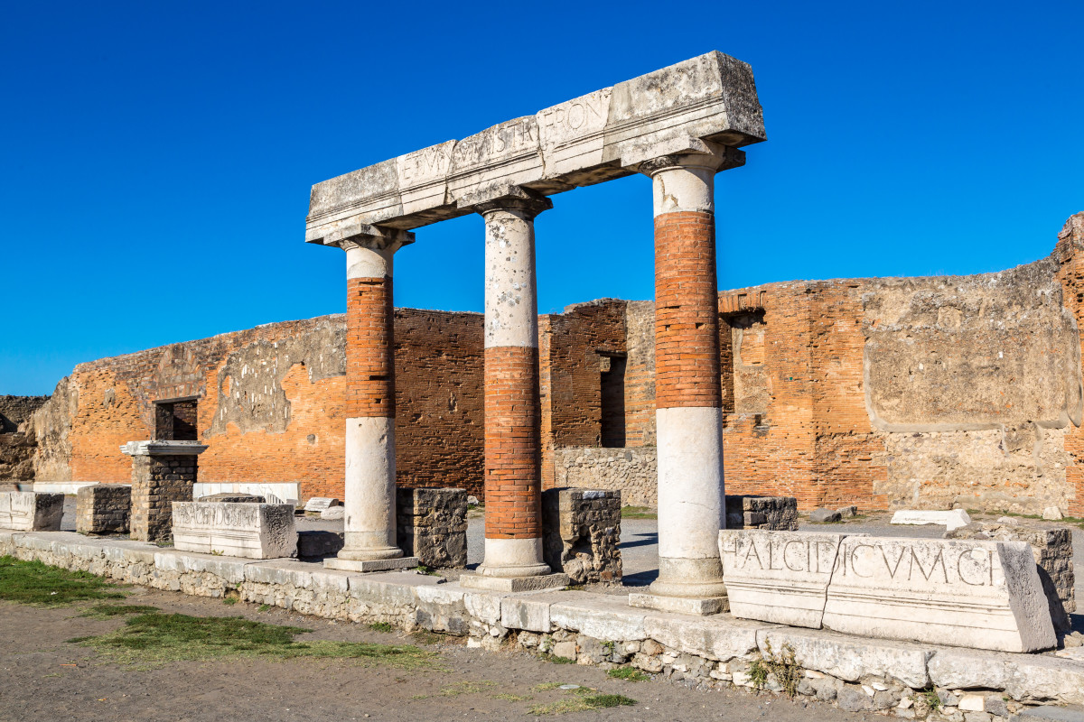
One of the examples presented by the company is the ancient city of Pompeii. Instead of seeing the remains of the buildings as they are today, you can ask the system to show how the city looked in 78 AD, a year before it was destroyed by the eruption of Mount Vesuvius. Within seconds, a colorful image of streets, buildings, shops and residents is obtained, as the system estimates they looked at that time.
The possibilities are not limited to Pompeii alone. You can request an illustration of many historical sites around the world. For users in Israel, one of the intriguing possibilities would be to create a simulation of Jerusalem during the Second Temple period, including the city’s streets, public buildings and the historical complex, and wander around the area using Google Earth as the simulations blend into the modern landscape.
But the uses don’t end in the past. The company also presents an option to visualize future projects. For example, you can choose an empty lot and produce a visualization of a commercial center, a residential neighborhood or a public building even before the work begins. According to Google, this could help architects, developers and clients understand what the project might look like once it’s completed.
Meanwhile, an option to automatically generate infographics for popular websites has been added. In the example presented by the company, the system creates a diagram for the Statue of Liberty that includes historical information, the height of the building and the materials used to build it.
There are also reservations in the field of urban planning. Simulations produced by artificial intelligence can provide inspiration or illustrate ideas, but they do not replace professional architectural planning or detailed engineering simulations.
The integration of Nano Banana within Google Earth is already available to users. It joins a long list of artificial intelligence capabilities that Google has integrated into its services in recent months, and illustrates the direction in which the map and geographic information services are going, not only presenting the world as it is today, but also creating a window into the past and into future scenarios.